
Traffic crashes and road safety in Yavapai County, Arizona
Five years of crash deaths, a map of where fatal crashes happened, the plans and grants that cover the county, and who to contact
288 people lost their lives in traffic crashes in Yavapai County, Arizona, from 2020 to 2024. That is more per person than the state or the country. Against the national pattern, the factor that stands out most is motorcycle crashes: 21% of deaths. From 2020 to 2024, 3 half-mile stretches of road in Yavapai County each had 3 fatal crashes.
Why these numbers are here
From crash data to safer roads
This page follows five steps. Each section below serves one of them, so you can read in order or go straight to the step you need.
- 1
See the pattern
Where and when serious crashes happened, and how many.
- 2
Understand the risk
Who was hurt, what was behind the crashes, and places with repeated serious crashes.
Who was affectedWhat was behind the crashesPlaces with repeated serious crashes
- 3
Reduce harm
Safety plans and funding, fixes proven to work, and what you can do.
- 4
Respond when harm occurs
What to do and where to get help after a crash.
- 5
Improve what we know
Where every number comes from, how current it is, and what it leaves out.
Fatal crash map of Yavapai County
This map shows every fatal crash with a known location in Yavapai County, Arizona, from 2020 to 2024, from NHTSA’s Fatality Analysis Reporting System (FARS). Red patches mark clusters of fatal crashes. Colored lines and circles mark the street stretches and intersections with more than one fatal crash.
These are the same federal records as the death counts below, so the totals should be close; the map counts crashes, and the numbers below count people. For injury crashes, see the Arizona Department of Transportation’s Motor Vehicle Crash Facts.
Select a colored line or circle for details. Zoom in to see each fatal crash.
Fatal crashes
4+, 3, 2 fatal crashes
Fatal crash
Map and analysis © 2026 Safety Behind the Wheel Foundation (drivewithcare.org). Fatal crash records: NHTSA Fatality Analysis Reporting System (FARS). Road names, city boundaries and county outline: U.S. Census Bureau TIGER/Line. Street map: © OpenStreetMap contributors. You may share this map with credit and a link to this page.
Roads with repeated fatal crashes
Half-mile or shorter pieces of road with 2 or more fatal crashes from 2020 to 2024. Select a place to see it on the map.
3 fatal crashes · 3
2 fatal crashes · 22
Intersections with repeated fatal crashes
Intersections with 2 or more fatal crashes from 2020 to 2024. Select a place to see it on the map.
2 fatal crashes · 2
How to read this. Each crash on the map killed at least one person within 30 days, as recorded in FARS. Arizona does not publish the locations of injury crashes (ADOT’s crash system is open to agencies, not the public), so this map shows fatal crashes only. These are crash counts, not a risk score: busy roads have more crashes partly because more people drive on them. Fatal crashes are rare at any one place, so two at the same place in five years can happen by chance; places are shown in groups rather than ranked one by one.
Locations come from FARS and can be off by a short distance. Three fatal crashes had no usable location and are not on the map. FARS counts crashes on public roads in which someone died within 30 days. A crash counts as involving a person walking, on a bike or on a motorcycle when FARS codes it that way. Each crash on the map shows only its year and type.
Source: NHTSA Fatality Analysis Reporting System (FARS), crash locations 2020 to 2024; U.S. Census Bureau TIGERweb (roads, cities, county outline). Street map © OpenStreetMap contributorsData: crashes 2020 to 2024Checked: Nov 18, 2026
Yavapai County traffic crash statistics
In a place of about 245,000 people, a few crashes can move one year’s count a lot, so read the five-year total, not a single year. Federal files count deaths only; for serious injuries, use Arizona’s crash data tool (see our guide to state crash data portals).
Source: NHTSA FARS files (2020 to 2023 final files, 2024 annual report file), counted by Drive With Care; population from the U.S. Census BureauData: 2020 to 2024Checked: Nov 18, 2026
Who was affected
Most fatalities happened inside a car, truck, van or bus. Compared with the state, a larger share involved people 65 or older and motorcycle riders, and a smaller share involved people walking and people on bikes.
How they were traveling
Age
Source: NHTSA FARS files (2020 to 2023 final files, 2024 annual report file), counted by Drive With Care; population from the U.S. Census BureauData: 2020 to 2024, five-year totalChecked: Nov 18, 2026
What was behind the crashes
Rural roads stand out. In Yavapai County, 72% of deaths happened on rural roads, compared with 30% across the state.
How to read this. Each bar is a share of all deaths over the five years. One death can count in more than one row, so the rows do not add to 100%. Alcohol figures use NHTSA's own estimates for drivers whose test results are missing, as NHTSA does in its reports.
Source: NHTSA FARS files (2020 to 2023 final files, 2024 annual report file), counted by Drive With Care; population from the U.S. Census BureauData: 2020 to 2024, five-year totalChecked: Nov 18, 2026
Yavapai County traffic safety plans
Yavapai County is covered by the state’s safety plan. Cities, counties and regions can add their own safety action plans, often paid for with SS4A grants.
| Level | Plan | Goal | Status |
|---|---|---|---|
| State | Strategic Highway Safety Plan (Arizona Department of Transportation) | Reduce Traffic Fatalities on Arizona’s Roadways | Found |
| Local | Safety plan or planning work by Town of Prescott Valley, funded by SS4A in 2022 | Set by the plan | Not yet checked |
| Local | Safety plan or planning work by City of Prescott, funded by SS4A in 2023 | Set by the plan | Not yet checked |
| Local | Safety plan or planning work by Yavapai County, funded by SS4A in 2023 | Set by the plan | Not yet checked |
| Local | Safety plan or planning work by City of Peoria*, funded by SS4A in 2025 | Set by the plan | Not yet checked |
* Part of this city or town is in another county. A plan can exist without an SS4A grant. Under our Plan Watch rules, we ask the agency before we publish "not found" as final, and we post its reply.
Source: FHWA, SHSP database; USDOT SS4A award listsData: plans as postedChecked: Nov 18, 2026
The money
From 2022 to 2026, five SS4A grants went to local governments in Yavapai County, for a total of $2,070,896 in federal funds.
| Year | Who received it | Grant type | What it pays for | Federal funds |
|---|---|---|---|---|
| 2022 | Town of Prescott Valley | Action plan | Write a safety action plan | $544,896 |
| 2023 | Yavapai County | Planning and demonstration | Planning or demonstration work (no description in the USDOT list) | $250,000 |
| 2023 | City of Prescott | Planning and demonstration | Planning or demonstration work (no description in the USDOT list) | $200,000 |
| 2025 | City of Peoria* | Planning and demonstration | City of Peoria, Arizona Comprehensive Safety Action Plan | $796,000 |
| 2026 | Yavapai County | Planning and demonstration | SR 169 Corridor Study | $280,000 |
* Part of this city or town is in another county, so its grant is listed on each county’s page.
Regional planning groups, tribes and other agencies also received SS4A grants, and some cover more than one county. See every SS4A grant in Arizona.
Source: USDOT SS4A award lists, FY2022 to FY2026Data: awards 2022 to 2026Checked: Nov 18, 2026
What works for Yavapai County's top problems
We matched the three problems that stand out most against the national pattern to fixes with strong evidence.
Motorcyclists: 21% of deaths
Protect riders
- Laws that require all riders to wear a helmet get 5 stars. Rider training gets 2 stars, and campaigns to make riders more visible get 1 (NHTSA).
- Read: Motorcycle laws by state and our motorcycle safety guides.
Speeding: 34% of deaths
Slow traffic where people are hurt
- Lower speed limits 5 stars, speed safety cameras 5 stars and dynamic speed feedback signs 5 stars; high-visibility enforcement 4 stars (NHTSA). Where cameras may be used depends on state law.
- Read: Speed feedback signs: where they work and how to ask for one and camera laws by state.
Alcohol: 32% of deaths
Stop impaired driving before it starts
- Publicized sobriety checkpoints 5 stars, ignition interlocks 5 stars and high-visibility saturation patrols 4 stars (NHTSA).
- Read: Alcohol impaired driving: plan a sober ride home and the party and holiday ride plan.
Source: NHTSA Countermeasures That Work, 11th editionData: as publishedChecked: Nov 18, 2026
Help after a crash
- Get the police crash report. Ask the police agency that handled the crash how to request a copy. You will usually need the date, the place and the report number.
- Help with costs after a crime. Every state has a crime victim compensation program that may help when a crash involved a crime, such as DUI or hit and run. Find Arizona's program and how to apply on the Office for Victims of Crime map.
- Brain injury help. Find brain injury support for Arizona through the Brain Injury Association of America. You can also go straight to biaaz.org. The National Brain Injury Information Center is 1-800-444-6443.
- Our recovery guides. Start with Beyond the concussion and post crash care in the first minutes, or read and share stories on the Story Wall.
Stories appear on a place page only with the family's written consent. We never match a story to a crash record.
Source: Office for Victims of Crime; Brain Injury Association of AmericaData: as postedChecked: Nov 18, 2026
What you can do
- Report a problem on a state road. Contact the Arizona Department of Transportation. Call 911 for an emergency.
- Find out who owns the road. State routes belong to the state. Most other roads belong to Yavapai County or your city, town or township. Ask them about signs, crossings, lighting and speed.
- Ask about your local safety plan. If your town, county or region received an SS4A grant, ask for its safety action plan and its yearly progress report.
- Bring people together. Our guides on building a coalition and running a community program show how.
Questions about road safety in Yavapai County
How many people die in traffic crashes in Yavapai County, Arizona?
288 people died in traffic crashes in Yavapai County from 2020 to 2024, including 62 in 2024, according to federal crash records (NHTSA FARS). That is about 23.5 deaths per 100,000 people a year, compared with 16.5 in Arizona and 12.3 in the United States.
Which roads in Yavapai County have repeated fatal crashes?
From 2020 to 2024, 3 half-mile stretches of road in Yavapai County each had 3 fatal crashes, according to records from the NHTSA Fatality Analysis Reporting System (FARS), crash locations 2020 to 2024. They include stretches of I-17 and US 93. These are crash counts, not a risk ranking: busy roads have more crashes partly because more people drive on them. See every stretch and intersection on the crash map.
Does Yavapai County have a road safety plan?
Yavapai County is covered by the state's safety plan. From 2022 to 2026, five federal Safe Streets and Roads for All (SS4A) grants went to local governments in Yavapai County, for a total of $2,070,896 in federal funds. See the plans and the grants.
Sources and dates
- NHTSA, FARS national files 2020 to 2024 (2020 to 2023 final, 2024 annual report file)
- U.S. Census Bureau, Vintage 2024 county population estimates
- NHTSA, FARS crash locations 2020 to 2024 (crash map)
- U.S. Census Bureau, TIGERweb roads, cities and county outlines (crash map)
- FHWA, SHSP database: Arizona
- Arizona Department of Transportation, Strategic Highway Safety Plan
- USDOT, SS4A award lists FY2022 to FY2026
- NHTSA, Countermeasures That Work: speeding
- NHTSA, Countermeasures That Work: alcohol-impaired driving
- NHTSA, Countermeasures That Work: motorcycles
- Office for Victims of Crime, Help in Your State
- Brain Injury Association of America, Find Your BIA
All checked: Nov 18, 2026Next refresh: April 2027 (NHTSA estimates) and fall 2027 (grants)
This page offers general education, not legal advice. Numbers for small places swing from year to year, so we show five-year totals and do not rank places. In an emergency, call 911.
Road safety data in nearby counties
Keep learning
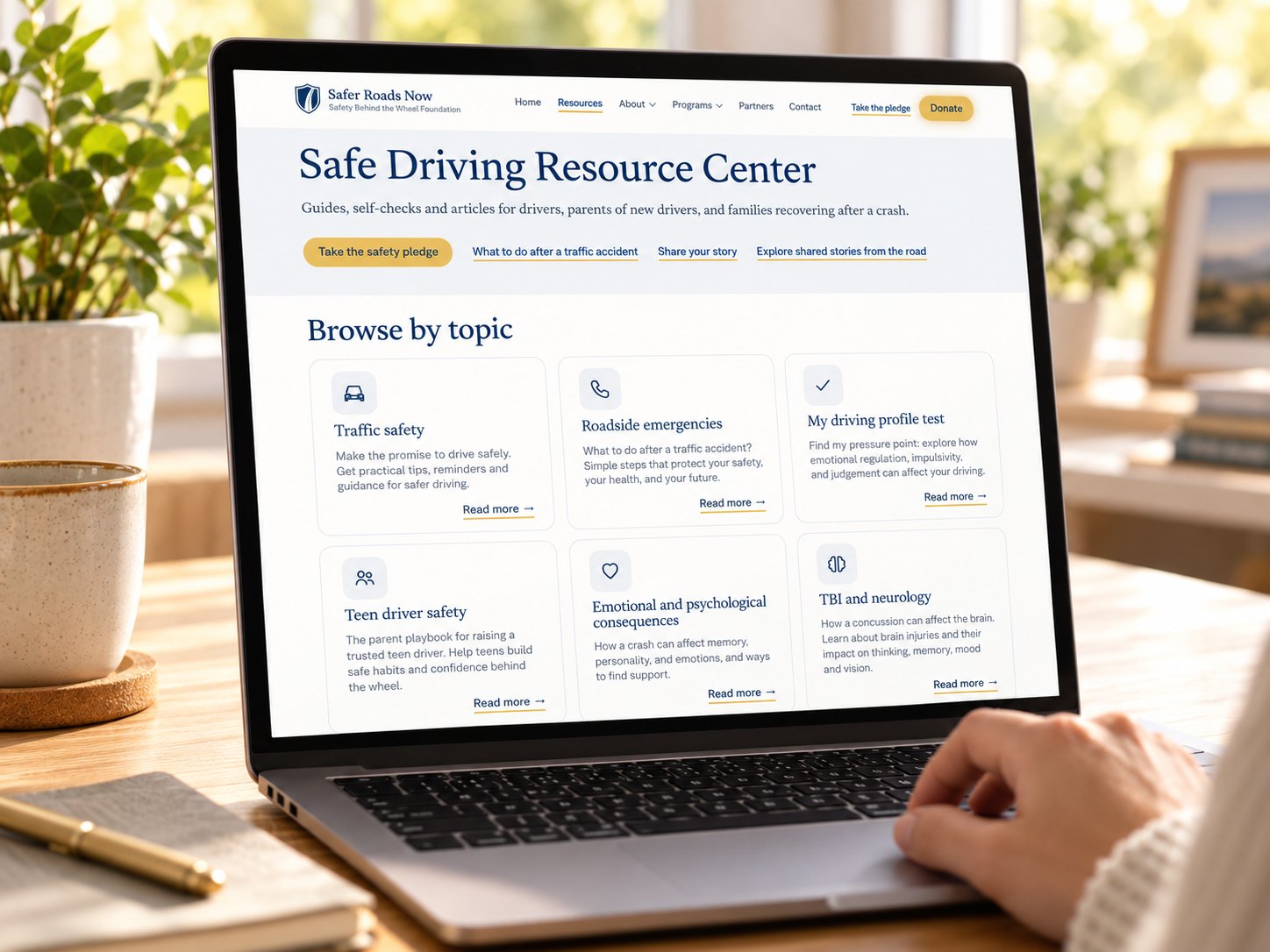
Safe Driving Resource Center
Guides, self-checks and articles for drivers, parents of new drivers, and families recovering after a crash.
Special thanks to our contributors
We appreciate the professionals, experts, and community members who share their knowledge and perspectives to help make this resource better. Your insights are always welcome and appreciated.
Have professional expertise, firsthand experience, or a perspective that could make this resource better?
We welcome your input. Your knowledge and experience can help us make this resource more useful, accurate, and meaningful to the people who rely on it.
Thank you. Your contribution is on its way.
We’re grateful you took the time to share your knowledge with us. Our team reviews every contribution with care. If it helps improve this resource, we’ll update the page and recognize you the way you chose.