Road safety data
Find crash deaths, safety plans and grants for your state and county
Pick your state on the map to see its crash numbers and every county page in it. Each county page shows five years of traffic deaths, local safety plans and grants, and where to find help after a crash.
Pick your state
Click or tap a state. Small states are on the right side of the map. You can also choose from the list or type a county name above.
No match. Check the spelling or clear the filter.
Near you
Looking up your area…
How this works: when this page opens, your browser asks GeoJS for the rough location of your internet connection, and the FCC’s Census Area lookup turns that place into a county. Internet locations are often off, sometimes by a county or more. If you choose device location, your browser asks you first. We do not save your location.
More ways in
Map: U.S. Census Bureau cartographic boundary files, 2017 edition (state lines). Numbers: NHTSA FARS files 2020 to 2024 and Census Bureau population estimates, as shown on each state page. Location lookup: GeoJS and the FCC Census Area API. Checked: Nov 18, 2026.
Keep learning
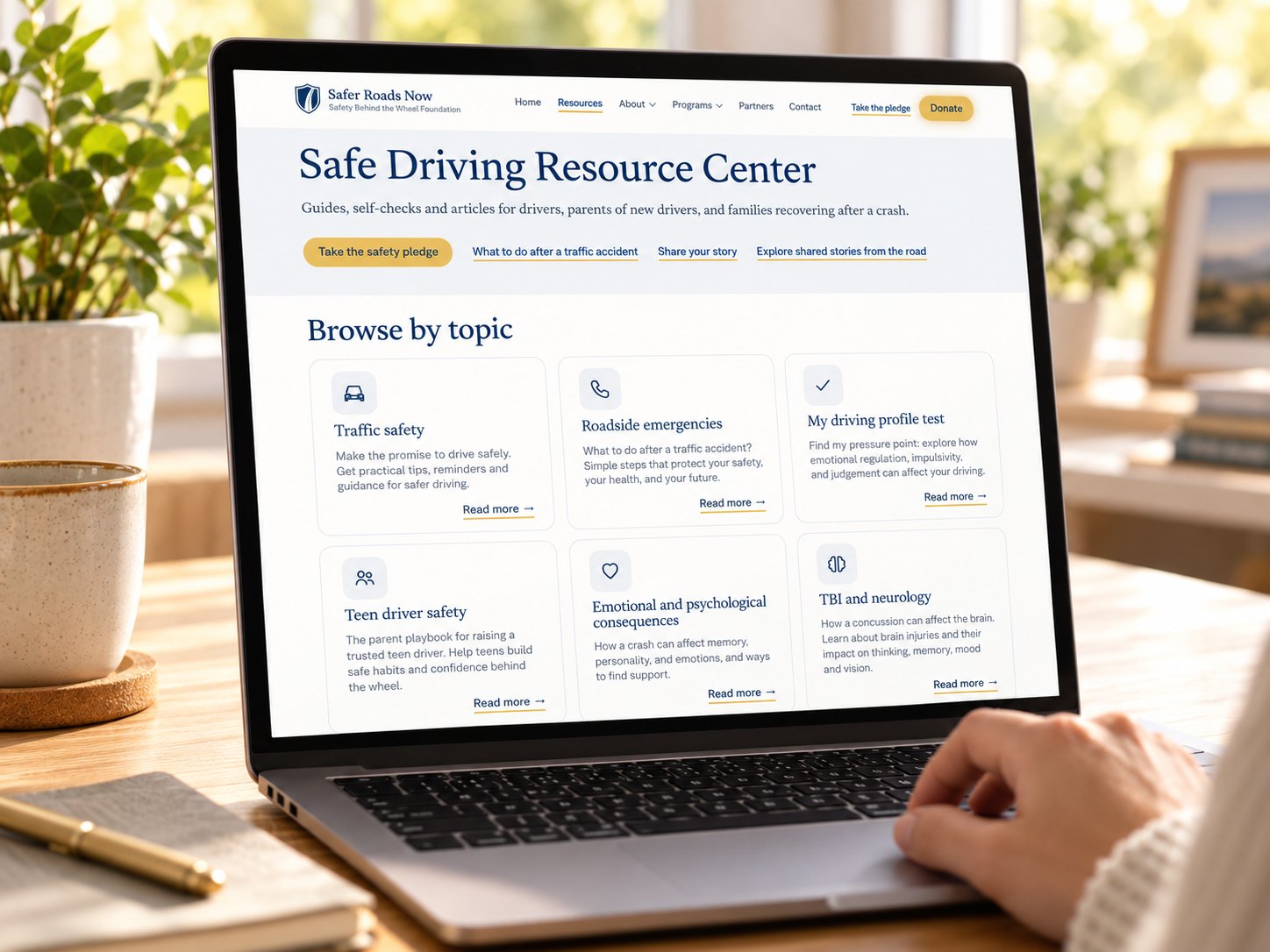
Safe Driving Resource Center
Guides, self-checks and articles for drivers, parents of new drivers, and families recovering after a crash.