
Safer streets for local leaders

Plain guides for community leaders working on safer roads, crossings and programs

Safer streets come from good data, smart road design and programs that change behavior. This page brings together our guides for community leaders, schools, road agencies and safety groups, from building a coalition to choosing the right crossing or speed fix.

Pick your starting point below, or use the On this page menu to jump to a topic.

Find your starting point

Plan a community safety program

Lasting change starts with the right partners and a clear plan. These guides cover building a coalition, running campaigns and events that work, measuring results and engaging schools, students and families.

Use crash data to choose priorities

Local crash data shows where people are getting hurt and why. Learn where to find it, how to read it without being misled and how to use it to pick the right fixes.

Start hereHow to use local crash data to choose community safety prioritiesHow to turn crash, injury and traffic data into a ranked list of local safety prioritiesRead the guideLocal crash data and safety maps: how to find and read your area's dataHow to find official crash maps for your area and read them without being misledRead the guideUnderstanding traffic safety data: how to read crash statistics wiselyHow crash numbers are counted, what they miss and how to compare rates fairlyRead the guideRoad safety statistics 2024: U.S. and global crash dataKey U.S. and world crash numbers, each paired with its official sourceRead the guideCrash maps, GIS and countermeasure tools: how analysts pick road fixes that workHow agencies turn map patterns into road fixes and what evidence to ask forRead the guideVideo near miss analysis: what traffic conflict studies show and what they cannot predictHow close call studies work, how to judge them and why they are not forecastsRead the guideSpeed counters and traffic volume sensors: how road counts guide safer streetsHow tube and radar counts work, what the numbers mean and how to request a studyRead the guideWhere federal crash data comes from: FARS, CRSS and how to use themHow the government counts crash deaths and injuries and how to read the numbersRead the guideState crash data portals: how to find crashes in your communityHow to use your state's crash database to spot dangerous roads and push for fixesRead the guideReporting on crashes: a guide for journalists, schools and community groupsHow to write about crashes accurately and fairly, in ways that prevent the next oneRead the guide

Safer roads, curves and roadsides

The Safe System approach plans roads so that one mistake doesn’t have to cost a life. These guides explain proven fixes for curves, lane edges and roadsides, and what to ask your road agency.

Start hereSafe System approach: how road design protects you from human mistakesHow safer roads, speeds, vehicles and emergency care keep one mistake from turning fatalRead the guideSafer road design: a field guide to the safety fixes on your streetHow to spot common road safety fixes, which crashes they prevent and how to use themRead the guideHigh friction surface treatment: how extra pavement grip helps drivers stay on the roadHow HFST adds grip at curves and ramps, and what road owners should check firstRead the guideCenterline and shoulder rumble strips: how they warn drifting drivers and what to askHow road owners choose sites, protect riders and neighbors, and keep strips workingRead the guideCurve chevrons and delineator posts: how they show the road ahead and where they belongWhat curve devices do, where the rules place them and how to request a reviewRead the guideRetroreflective lane markings and raised pavement markers: guiding drivers at nightHow lane lines and markers stay bright at night, in rain and after snow plowingRead the guideGuardrail, median barriers and crash cushions: how they work and what to ask road ownersHow roadside barriers are chosen, tested and repaired, and how to report damageRead the guideBreakaway sign and light supports: how they work and what to ask your road ownerWhere poles built to give way belong, what they cannot do and how to report damageRead the guideWildlife fencing, crossings and animal detection systems: what works and what failsWhich road fixes cut animal collisions, why upkeep matters and what to ask forRead the guide

Signals, signs and warning systems

Signs, signals and warning systems tell drivers what is ahead. Learn how they work and how road agencies keep them working, from rail crossings to wrong way and flood alerts.

Safer crossings for people walking and biking

Crossings are where people on foot and drivers meet. These guides explain which markings, beacons, signals, lighting and islands help drivers see and yield to people crossing.

Speed management and enforcement

Lower speeds make crashes less deadly. Learn what the evidence says about speed feedback signs and safety cameras, how speed is measured, and how stop arm and breath testing programs work.

Parking lots, campuses and private sites

For property managers, schools and businesses. Learn how signs, lighting, mirrors, bollards and speed humps make a lot or campus safer to walk and drive.

Crash scenes and emergency response

For fire, EMS, police and tow crews. Our first responders and tow operators page brings together guides on scene safety, rescue tools, EV hazards, towing and crash investigation. Road work zones have their own page for road crews.

More to read

Want to read more? Browse every road design guide in our library, or see our guides for people who walk and run.

These guides offer general education, not engineering or legal advice. Road design standards and traffic laws differ by state and agency, so work with your local road owner and check the rules that apply.

Keep learning

Safe Driving Resource Center

Guides, self-checks and articles for drivers, parents of new drivers, and families recovering after a crash.
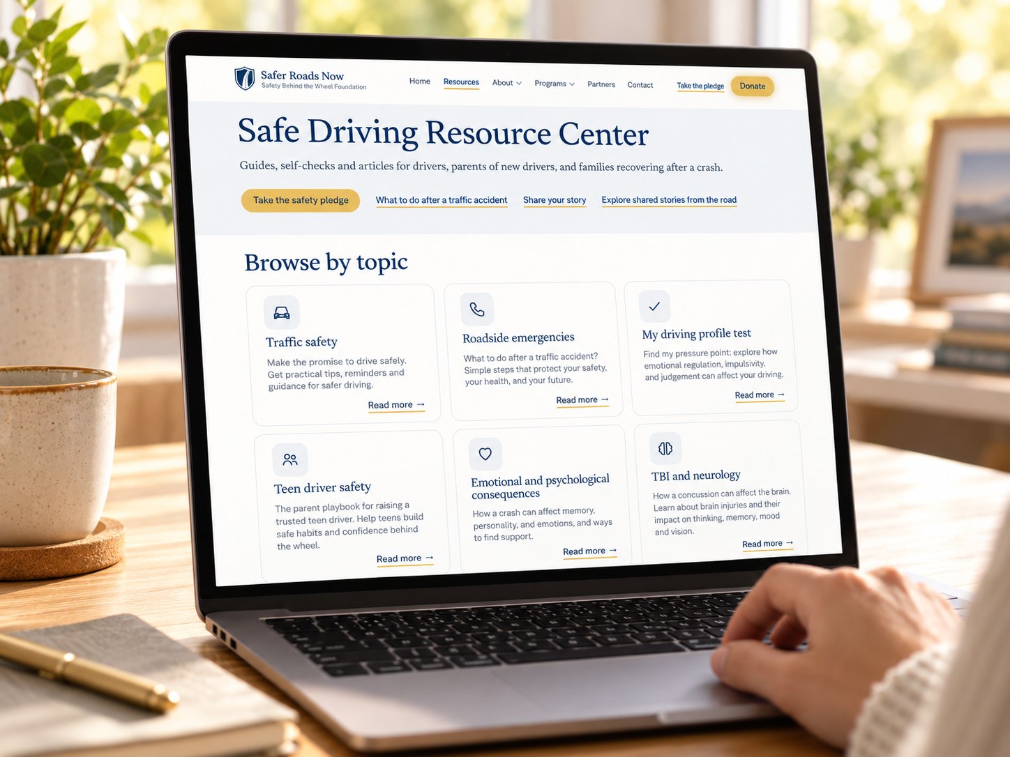
A laptop open to the Safe Driving Resource Center page, with guides grouped by topic.
Back to top